Friday March 31st, 2026
Springtime in the Northeast Kingdom of Vermont, and the sap is flowing!
Given the flow, you would think I would find a way to sugarcoat the weather forecast.
But that would be a cruel April Fools prank.
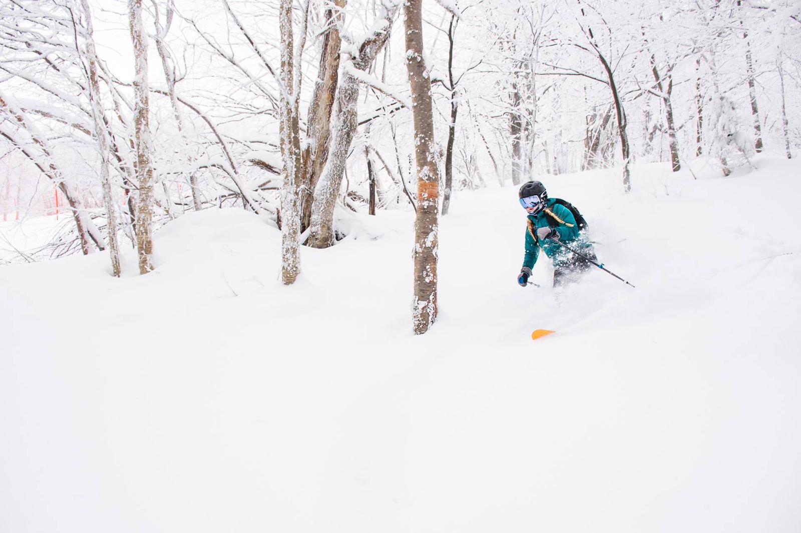
The truth is Mother Nature has decided that this mid-week we do not have the best skiing of the week. That happened over the weekend and on Monday. Those days were above and beyond the call of the TK forecast. It was very cold to start off the weekend, that was good snow preservation. And then we got the sun to come out on Sunday and Monday, by Monday we were 65! Wow! That was nice! And then, of course, as soon as I arrived in Northern Vermont on Tuesday, it started to rain.
It’s not a very warm rain, we have that going for us. The snow is not melting and running off the mountain. After our warm Monday, we had a backdoor cold front, and wind shifted back from the north that dropped us back into the 30s on Tuesday, March 31. So I would say March did not go out like a lamb, more like a lion. There is a lot of fog, but the snow is in pretty good shape considering where we’ve been the last couple of days.
We are just barely on the cold side of a serious front. Temperatures are holding pretty close to freezing for Wednesday with a lot of clouds and maybe some mist. I think we’re doing pretty good compared to other parts of New England, the heaviest rain in real warm air staying just to our south. This is a coast-to-coast front with waves of energy cascading from the Pacific to the Atlantic. The front is pretty much stalled from Portland, Oregon to Portland, Maine. And we have elements of precipitation, mostly on the cooler side through Thursday. There may be some icing, but it does not look like real heavy precipitation.
Also, it looks like we will not need any sunscreen, we have to keep the winter layers going through Thursday afternoon. Some Gore-Tex may help too with some showers, maybe icy showers. But it is not raining all the time, and we may actually see a few snowflakes mixed in Thursday midday.
And because we are so close to the boundary, there’s negligible wind, mostly light from the north and east. That’s one of the reasons it’s tough to scour out this low-level moisture and dense fog. Oh yeah, I should mention visibility is not very good.
A powerful storm is going to drive across the Great Lakes into our north Thursday night and Friday. That is going to cause any mixed precipitation to go over to raindrops here on Friday morning. We may get a burst of warmer wind on Friday afternoon as the temperature abruptly jumps back up into the 50s and we get a break of sunshine. We also get wind from the south gusting past 45 mph Friday afternoon.
As quickly as it warms up, it’s going to cool off again Friday night with a cold front, and the wind comes back around from the north at light speeds Saturday morning. Saturday starts off near freezing, and it looks like a pretty good opportunity for corn snow skiing here Saturday, with temperatures rising up into the low to mid 40s and a little bit of sun shining through the clouds, and light wind.
A more powerful storm plows into Ontario and Quebec Saturday night, with our wind cranking back up from the south late in the day and overnight, pushing the temperature even higher Saturday night and for Easter sunrise. Just about the time the sun comes up on Sunday, a cold front is coming in with some rain and maybe a brief thunderstorm before we dry it out by lunchtime. The temperature will be cooling from the 50s into the 40s during the morning, and then 40s to the 30s in the afternoon, with snow developing by sunset. What a tease!
We do get several hours of a Jay Cloud snowfall Sunday night into Monday morning, with the wind picking up from the north and temperatures plunging back down into the teens for fast and firm skiing on Monday, with the sun gradually coming back, but wind from the north is gusting past 35 mph. Probably about 4 inches of snow by Monday morning.
Proverbial dust on crust, but we can hope for a little bit more.
We are on the colder side of the front the first half of next week, with another system coming in from the Great Lakes, cold enough for snow, but some guidance says it tries to miss us to the south. That would be a pretty neat trick considering we are on April 7 and 8 at that point.
Once again, we are grateful for all that snow we've had this winter and its resiliency. Our ski season is going to continue well into April. As happens sometimes, we may run out of skier interest before we run out of snow.
But let’s not get ahead of ourselves.
We have some serious weathering to do here.
Welcome to April, Rabbit Rabbit!
We’ll talk again on Tuesday.
TK